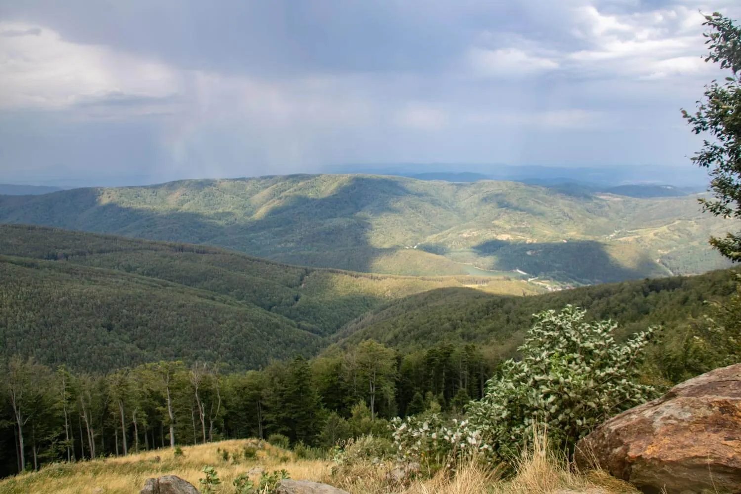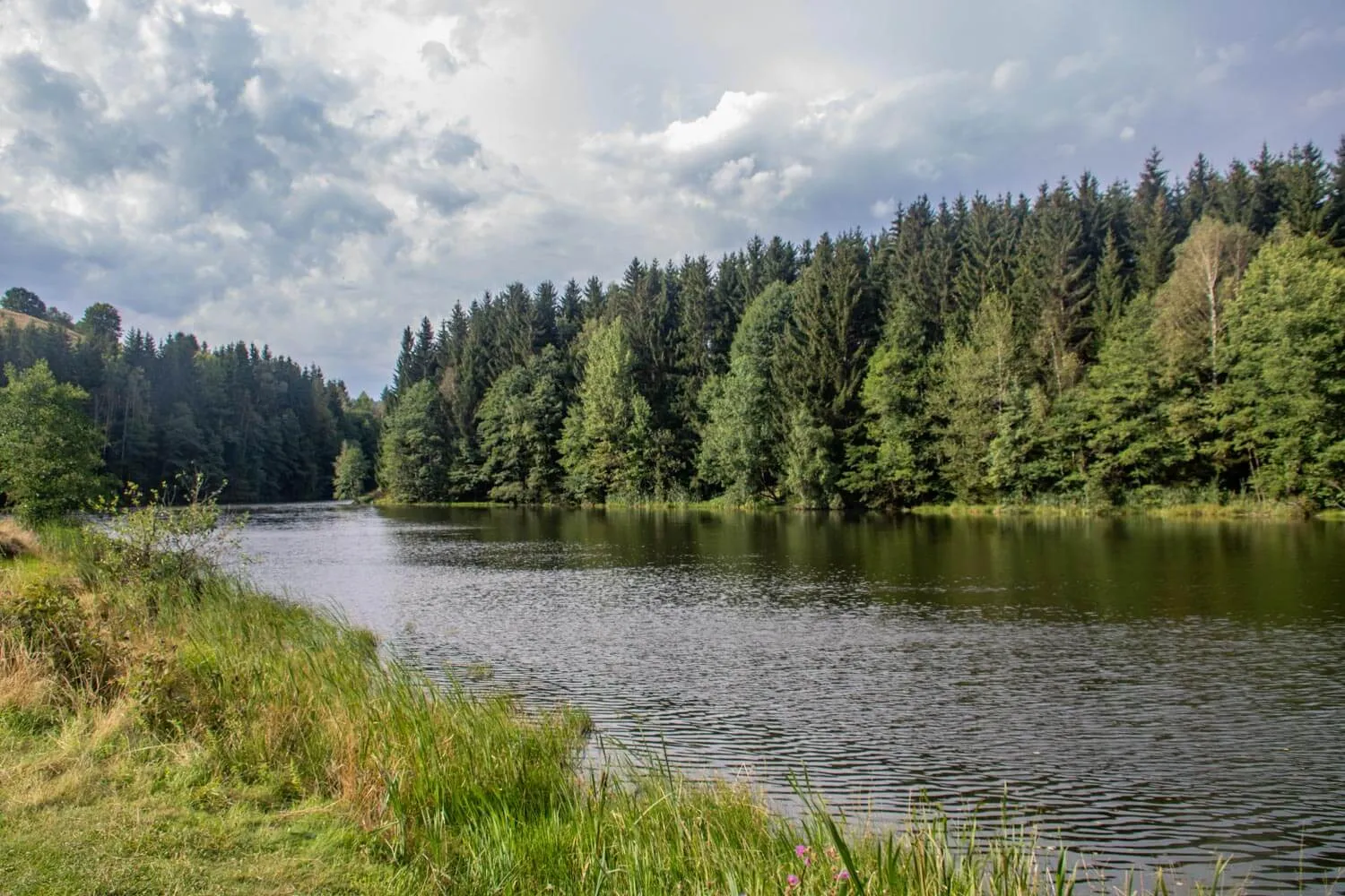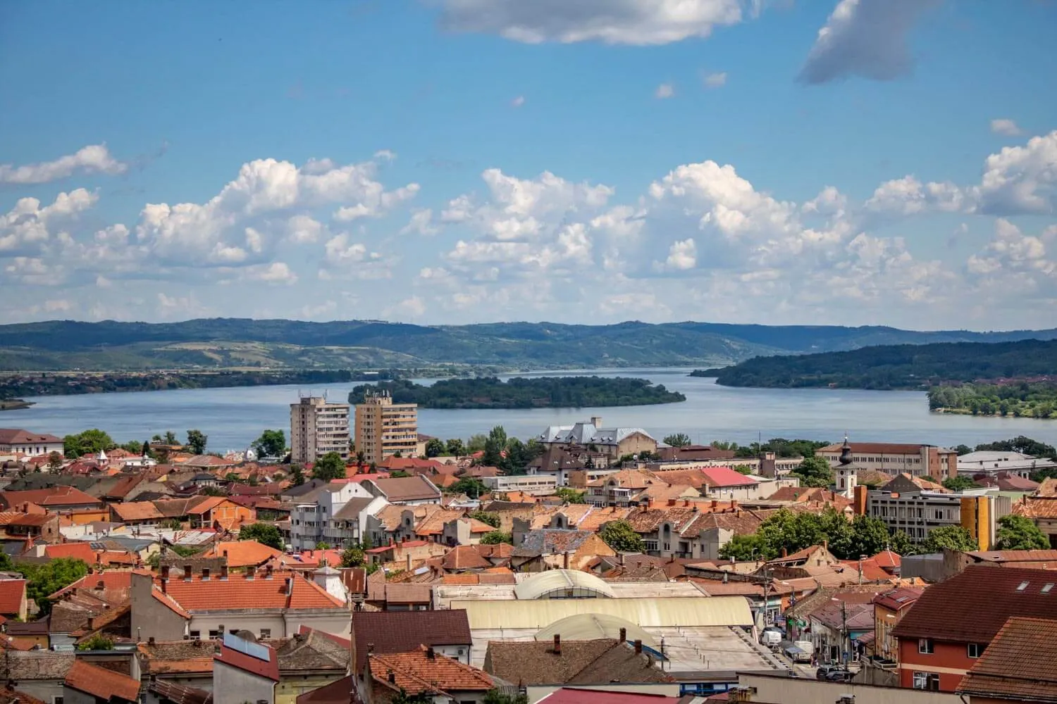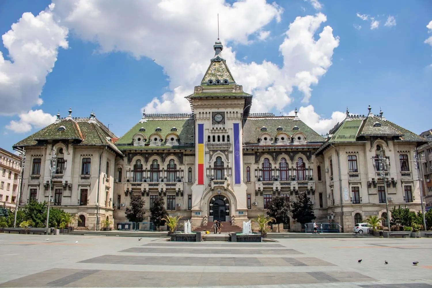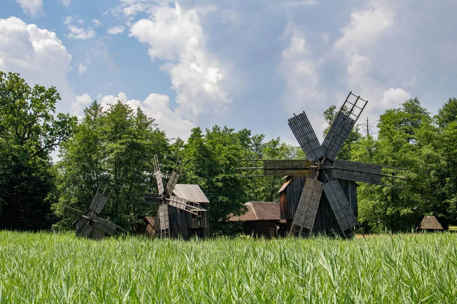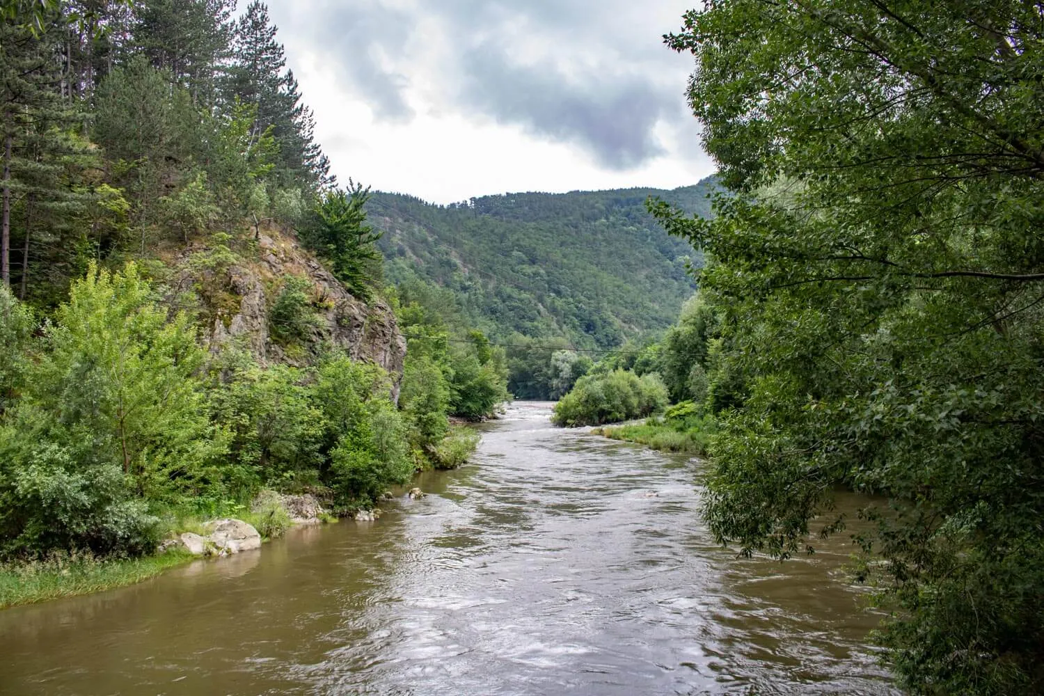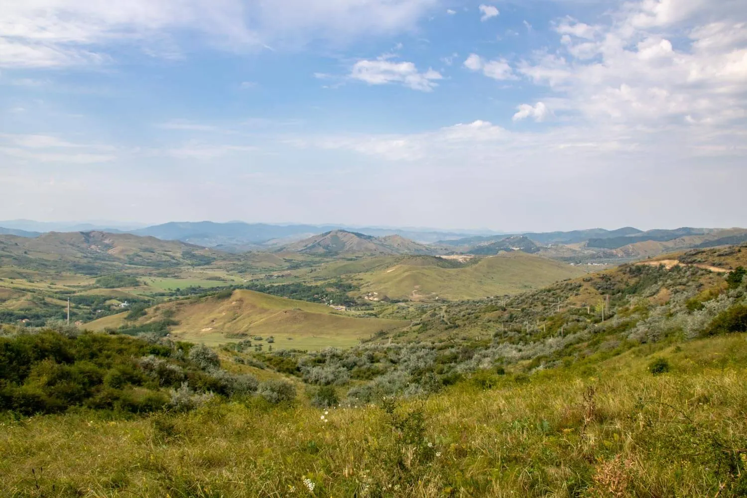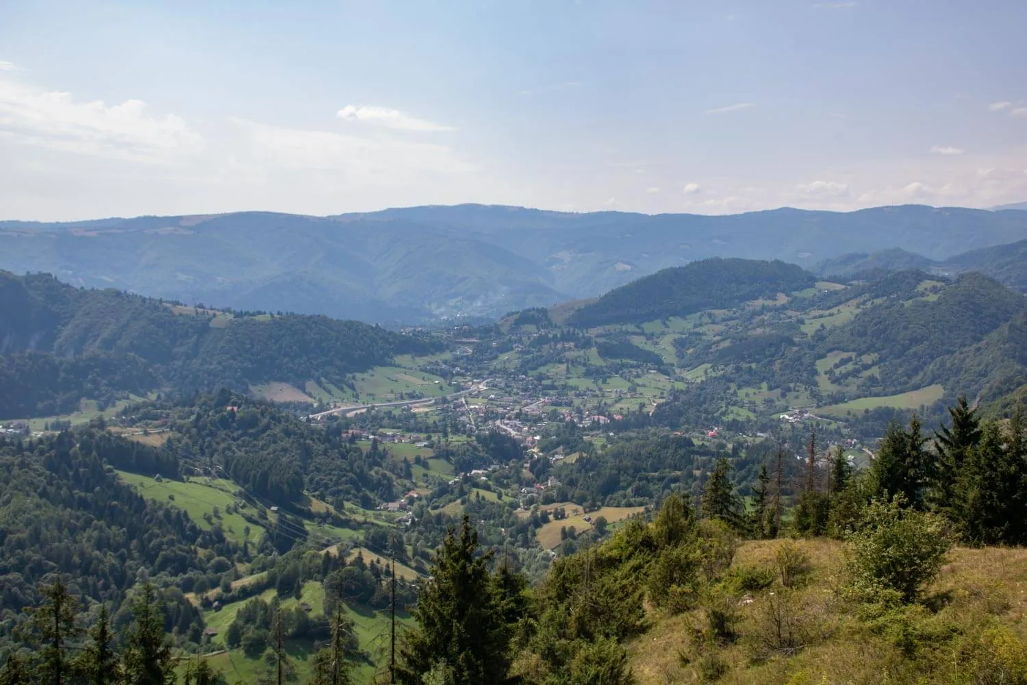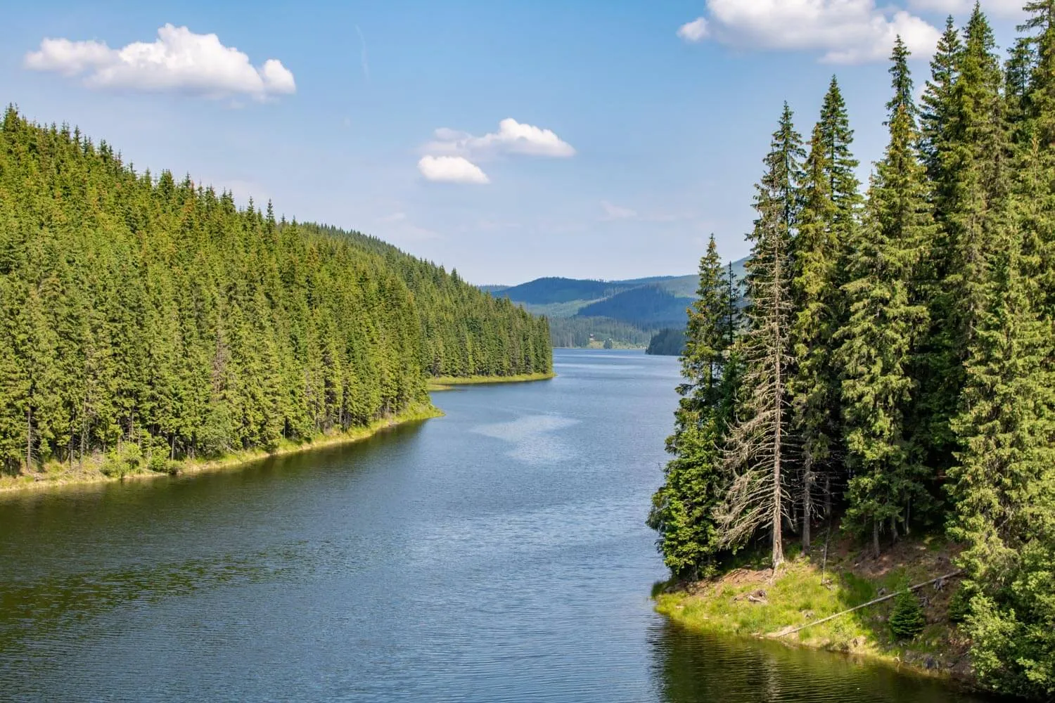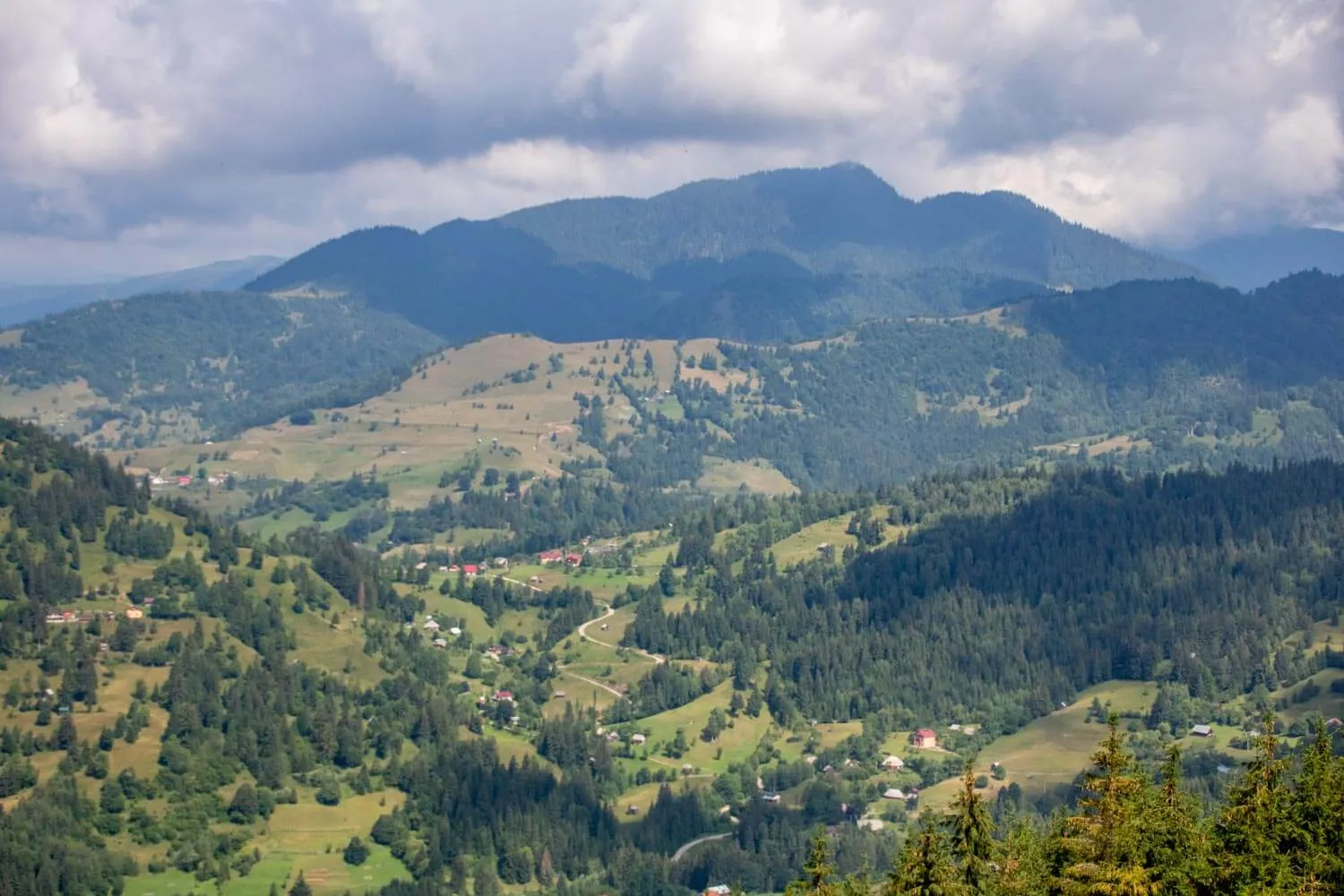
The Iron Gates Natural Park (Parcul Natural Porțile de Fier) is a protected area along the Danube River, which forms the border between Romania and Serbia. The park spans across the counties of Caraș-Severin and Mehedinți in the historical regions of Banat and Oltenia.
Book Your Trip
Weather & Climate
The Iron Gates Natural Park is defined by the Danube’s longest gorge, where the river carves through the Carpathian and Balkan mountains. This dramatic topography acts as a natural windbreak, creating a unique microclimate with significant Mediterranean influences that distinguish it from the surrounding regions. This sheltered, lowland environment fosters a warmer, more stable climate, supporting a biodiversity rich in rare, sun-loving flora that thrives in the gorge’s distinct thermal conditions.
Summer (June-August): The river corridor is vibrant and warm, with temperatures ranging from 25°C to 30°C. This is the prime season for boat excursions, which are the best way to view the river narrows, the “Tabula Traiana,” and the massive Decebal rock sculpture. While the riverbanks are warm, the dense forests on the surrounding slopes provide welcome shade for hiking.
Spring and Autumn: These are the most comfortable seasons for exploration. Spring (April–May) is lush, with the mountainsides turning vibrant green, and temperatures averaging 16°C to 21°C. Autumn (September–October) offers spectacular, clear-air conditions for photography, with temperatures between 14°C and 19°C, perfect for touring the riverside monasteries and archaeological sites.
Winter (December-March): The gorge landscape becomes dramatic and moody, with temperatures typically between -2°C and 6°C. While the Danube rarely freezes completely, the surrounding mountains are frequently dusted with snow, creating a stunning contrast against the dark river water. Roads along the river are generally well-maintained, though drivers should be cautious of potential rockfall or ice on the winding canyon paths.
Things To Do
Where To Stay
Romanian name: Parcul Natural Porțile de Fier
Area: 1,157 sq km
Highest point: Urzica (861 m)