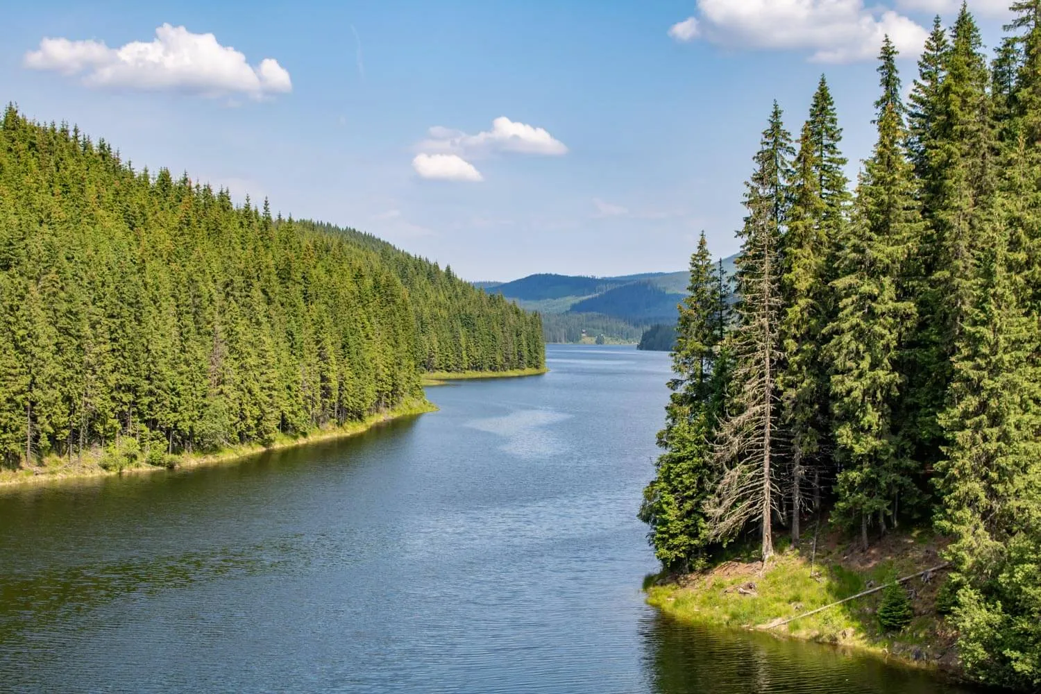
The Putna-Vrancea Natural Park (Parcul Natural Putna-Vrancea) is a protected area in the Vrancea Mountains in Vrancea County, in the historical region of Moldavia.
Book Your Trip
Weather & Climate
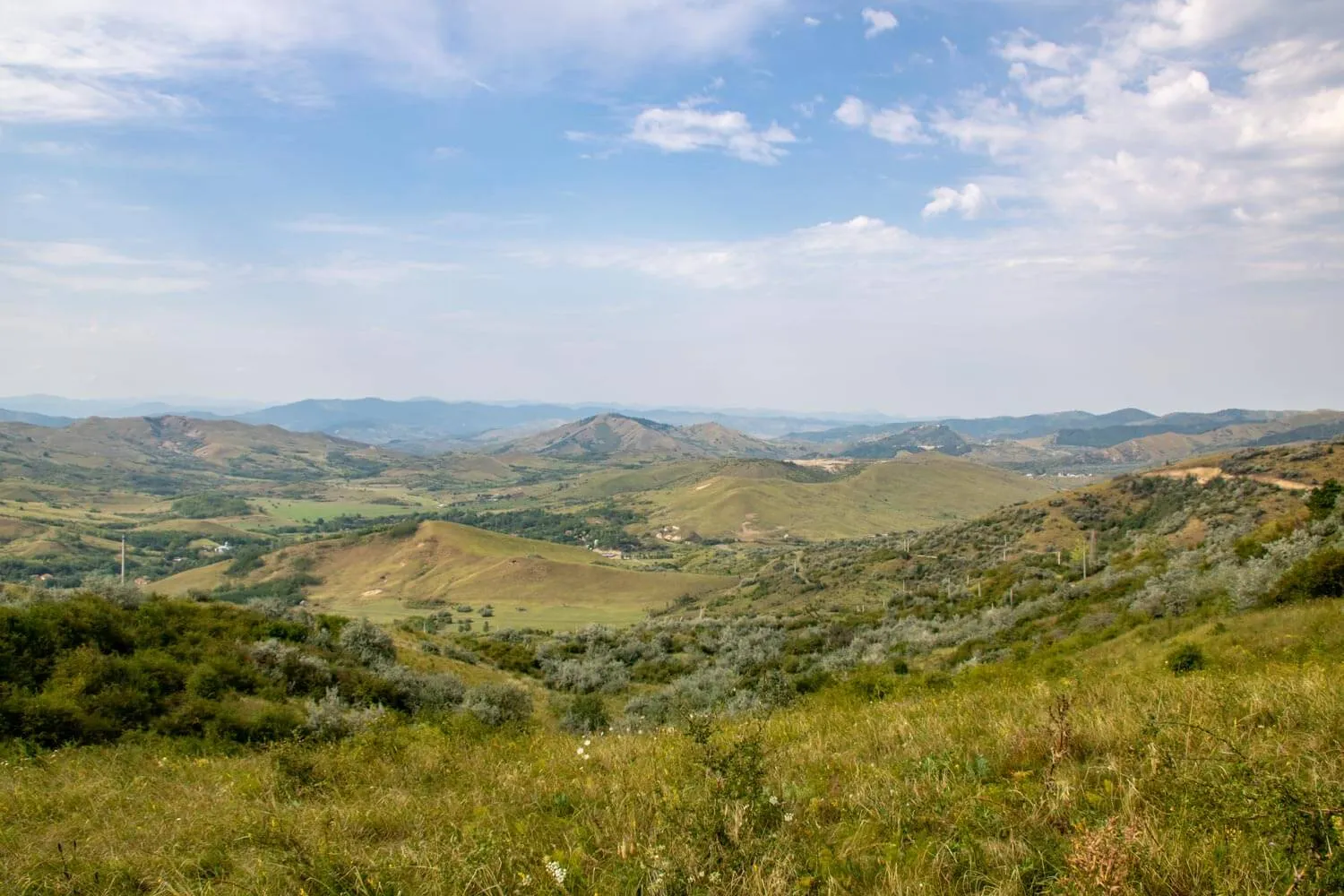
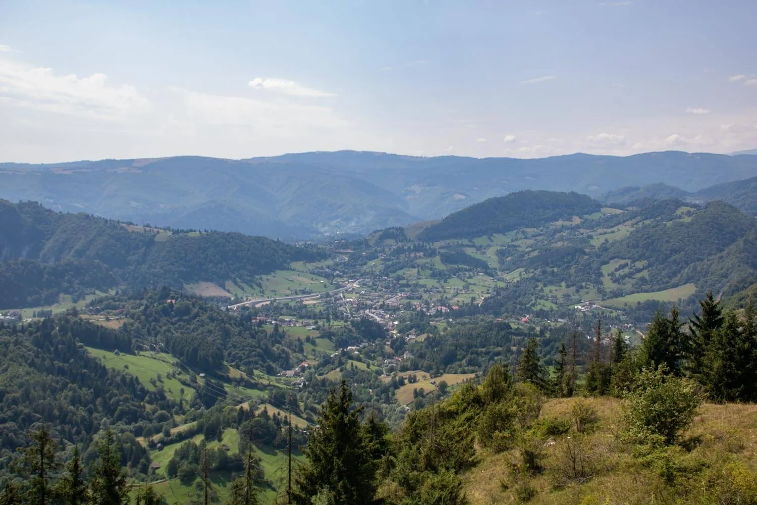
Located in the Vrancea Mountains, this park features a dense, rugged landscape of deep, narrow valleys and high-elevation ridges that act as a primary drainage divide between the Carpathian interior and the Moldavian plateau. This complex, enclosed topography traps cold air in the low-lying valleys while exposing the high ridges to intense, rapid weather shifts. These elevation-driven contrasts create a dramatic range of thermal conditions, forcing visitors to prepare for localized, and often unpredictable, mountain weather regardless of the season.
Summer (June-August): The lower valleys are pleasantly warm, with daytime temperatures averaging 18°C to 24°C, providing a green refuge for hiking and forest exploration. The higher ridges remain significantly cooler and often breezy, making them perfect for trekking during the peak of summer when the humidity in lower-altitude areas can become heavy.
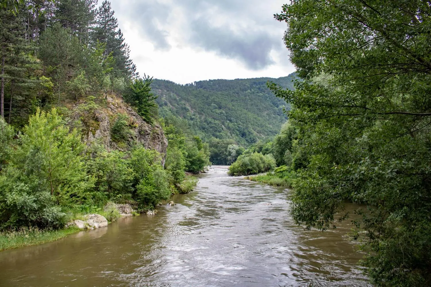
Spring and Autumn: These are seasons of sharp, rapid change. Spring (May) is marked by rapid snowmelt and rushing, high-volume rivers, with temperatures ranging from 9°C to 15°C. October is the most stable month for photography, as the vast beech forests shift into vibrant autumn colors, temperatures hold steady between 6°C and 12°C, offering crisp, clear conditions ideal for mountain navigation.
Winter (December-March): The park experiences a deep, severe winter, with temperatures frequently ranging between -10°C and 0°C. High mountain passes and ridge trails often become inaccessible due to heavy, persistent snowpack and high wind exposure. Winter visitation is best focused on the lower, more sheltered forest roads near the park’s entrance, where the dramatic winter landscape can be experienced without the risks associated with the exposed high-altitude terrain.
Things To Do
Where To Stay
Romanian name: Parcul Natural Putna-Vrancea
Area: 302 sq km
Highest point: Goru Peak (1,785 m)